Illinois, it is more than corn (and bean) fields

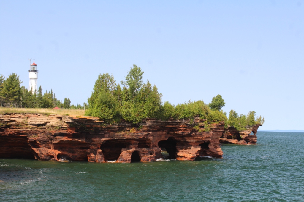
Four miles of the Illinois River is lined with soaring cliffs cut by numerous vertical walled side canyons.  
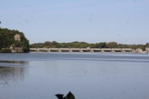
This unexpected beauty is protected in Starved Rock State Park.  Trails follow the river bank at water level and along the top of bluffs.  It is a lovely walk among trees tinged with early fall color and with views of the river and locks below.  We cross dry channels that speak of the more dramatic views in Spring when the side canyons funnel run-off across swirling waterfalls.

The park lodge is classic CCC.  
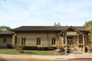
A colossal two sided natural stone fireplace occupies the center of a great room with open log structure and a soaring vaulted ceiling.  I need a mini version in our cabin!


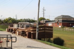
It is quiet here this time of 
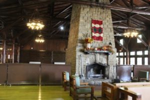
year but huge overflow lots, traffic warning signs, and lots of visitor behavior rules tell the story of a much different place when the summer crowds from Chicago flood this place. I’ll take the quiet days, thank you

96 miles of hand dug canal

The Illinois-Michigan canal opened navigation from Lake Michigan to the Mississippi and on to the Gulf of Mexico.  It was key in the development of Chicago as a trade center and in the rise and fall of towns along its banks.  In Ottawa we visited a canal Tollhouse and got a wonderful history lesson from a devoted volunteer we encountered on the grounds.  This small town is hoping to leverage history and historic landmarks to get their town back on the map through tourism.  They have huge projects in the work that are backed by citizens, local government and businesses.  It is great to see such cooperation.  Here’s hoping it all works out.

Boundary Waters Canoe Area by the numbers

Paddled in 5 days out and back: Sawbill Lk, Ada Creek, Ada Lk, Sloop Lk , Cherokee Creek, Cherokee Lk, Gordon Lk, Long Island River, Long Island Lk, & Doe Lake

Campsites: 3

Miles paddled: 28.3 + sight seeing

# Portages: 7X2 for Kent & Lynn, 8X2 for Mike and Tracy

# Beaver Dams crossed: 6 X 2

Portage Distance on Map: 2.4 miles

Portage Distance Actual: 3 miles  The difference is attributed to a creek that can no longer be paddled so you slog along the creek bank in the mud for 0.4 miles, Yuk!

Canoe weight 40#each X 2

Total Weight 4 Packs 123# + 2 daypacks

Depth of mudhole found by Mike on portage approx 13”

Rainfall during day 2 of trip 1.4”

Pictures taken: 378

Fanua observed; Loon, Eagle, Grouse, Mink, Beaver, Otter, squirrel, chipmunk, mouse, frog, Crow, owl, coyote, gulls, jays, nuthatches, kingfishers, turtles, coots, mergansers, red headed ducks

Wakami Lake

It is time to leave Wakami Lake.  What a bummer.  It is raining which is never a good time to pull the boat, break camp and load up for travel.  This place brings back special memories and remains a very beautiful place.  It is soo quiet here.  The main interruptions are the 3-4 daily polar transcontinental flights and the occasional bush plane taking someone to a fly-in fishing lake.  The loon count probably exceeded 25 this year up from only an occasional sighting 40 years ago.  Many bald eagle sightings.  Good job Ontario!  We didn’t hear the wolves this year or see Northern lights, maybe next time.  There was a bear around camp according to postings, although we didn’t see it.  The mileage on the depth-finder/gps indicates we traveled 150 miles by boat during our stay.  We avoided the big rainstorms through some quick trips back to camp.  Fishing was good, catching could have been better.  Wakami is a special place, experience it if you can.