Road to the Sky

5000 feet of elevation change in 8 miles to the top of Mt.Washington.   The poor Miata was just panting.  We actually had to stop and let the engine cool a couple times on the way up.   We made it up and back down safely.


At the top, the view was spectacular.  It was a clear bright day and we could see over 100 miles to mountains inMaineandVermont.  Occasionally clouds floated by below us and cast cool shadows on the peaks all around us.  We are actually among the Presidential Peaks of the White Mountains.   Fantastic country but amazingly heavily trafficked by hikers given how rough the terrain is.  It’s a place for great views and amazing geology but not a place for solitary contemplation of nature.   We hiked a section of the summit trail and met or passed at least forty hikers in a couple hours.   Trails crisscross the peaks.  From high atop MtWashingtonwe saw people on nearly every trail and this isn’t even peak season for them.  Just too close to all the big east coast cities I guess.


We are nursing our sore feet a bit after today’s walk.  It was all boulder scrambling over mixed size, sharp cornered, irregularly shaped boulders laying on about a 20% plus grade with a few loose ones thrown in.  I watched my feet every step and had some choice words for my bifocals.  They are a pain on this terrain.  We were above tree line.  The plant life in the alpine zone is so amazing.  They regularly get hurricane force winds up here.  They claim the highest winds ever measured on land, 231 mph.  I don’t know how these little plants hang on.  The windchill today was a balmy 33F thanks to a calm-for-up-here 20 mph wind.

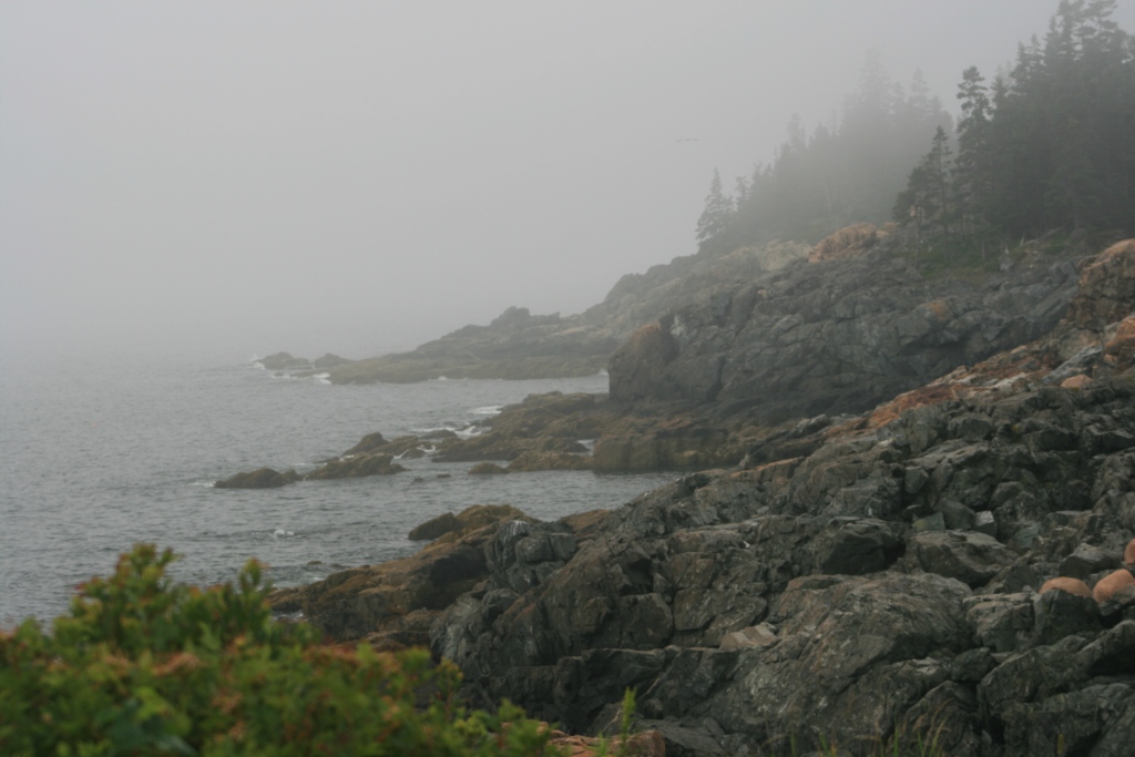
Quoddy Head SP…FOGGY

Our feet bounced on the spongy ground of the boggy, moss and fern covered forest floor.  The air was filled with the sharp, sweet smell of the cedar and tamarack trees that towered over us and there was the ever recognizable smell of damp earth.  It all assailed the senses but the symphony of foghorns made the greatest impression.   From our position on this rocky head we could hear the horns of three lighthouses sounding; each in their own unique pattern and pitch.  The sounds wound around each other in an ever changing song.  Soothing.  Comforting.  Eerie. Mesmerizing.

Fleeting openings in the low clouds and fog gave us glimpses of nearby islands, lobster boats, and a bald eagle.  We even saw the red and white stripe painted lighthouse….briefly.


Acadia tidbits

A loon can eat an 8” long eel alive, still wriggling.  He flips it so it goes down head first then gulps.  There was a lot of weird wiggling and twisting of the loons neck after that but he seemed to get it done.


Down east Maine is really north east of the rest of Maine.  Quite confusing or really just seems wrong since North is up, right.  Well, a little lesson in sailing and east coast weather and it all makes sense.  The prevailing winds here are out of the south-west so north and east are down wind.  Tada…downeast.


There are 3 million lobster traps in the waters offMaine.  Tiny bits of color can be seen across every bay since every lobster fisherman has his own color float to ID his traps.  Some are pretty unique designs since I guess they ran out of just different solid colors long ago.

The other Acadia…Schoodic Peninsula

Follow the National Scenic Byway east of Mount Desert Island, the place everyone thinks of when they hear Acadia National park. The drive winds along rugged rocky shores to a point that juts well out into open sea. Waves pound, even at low tide and fairly calm seas it was pretty impressive. We saw a gray seal and red fox along with a few sea birds. It is a beautiful place. Next time, we hope for clearer weather!

Thank you volcanoes of ages gone by

Mount Desert Island of Acadia National Park is a great granite outcropping created by magma flows of long ago. The ocean batters it creating magnificent cliffs towering over huge boulders, some ragged and sharp others polished smooth as they rattle around the rugged shore. Cadillac Mountain pokes up to it’s lofty 1530 feet. Pretty puny compared to many other mountains but amazingly impressive in this sea side setting.

Answer-when you can pull off the antennae

Question, how do you know when a lobster is done? So says the fellow cooking up 100s of them at the Winter Harbor Lobsterfest. No need for seafood crackers. All you need is a good sturdy table and a pretty smooth, clean, fist-sized rock. Add a nice little plastic pick and tada….lobster. It was fantastic. The corn was pretty good too. Fresh wild blueberries with a little cream for dessert, yum. Alright! We picked up some homemade cookies from a little old ladies baked goods booth. Not too shabby either. The craft fair offered tons of locally made whatnots both highly imaginative and wonderfully made. Too bad I don’t really have room for whatnots. It was fun looking though.

Fog

The fog rolls incessantly off the ocean. We gazed off into the grey white nothingness all along the drive the first day. The clear unrelenting tone of fog horns floated though the air. On exposed points, the lonely sound of a bell from an invisible off-shore buoy marker drifted up to the cliff tops. From atop Cadillac Mountain the very peaks of other mountains across the island appeared to float on a sea of clouds. It isn’t the weather I would have chosen but beautiful none the less.

What a cool idea

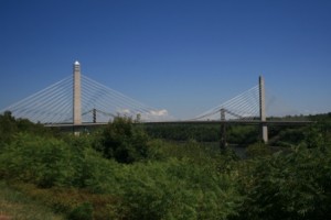
They put an observation deck in the top of the tower of the suspension bridge over the Penobscot narrows. We saw mountains 72 miles away. They had a full size display of a bridge section showing the structure too. Cool.
The Fort Knox (yes, just like the one in Kentucky…named after the same guy) Historic site includes a very good restoration of the fort that protected the narrows since the 1840s. It is one of the most fully restored forts we have visited and worth at least a quick visit.