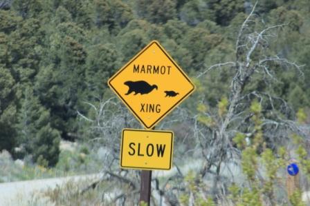
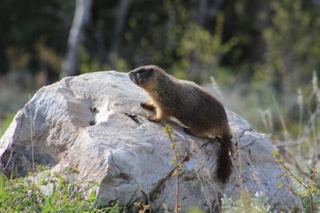
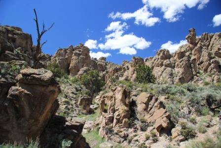
Our hike for today, Baker Creek trail. The dirt road is pretty smooth but we roll along at the 25 mph speed limit keeping and eye out for critters. What is that sign? Marmot crossing! 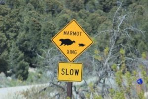 Really? Sure enough as if on cue they appear both on the road and atop rocks near by.
 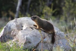 They are cute and very social so it is fun to watch them interact. One fellow absolutely would not leave the middle of the road. When we got close we saw that he was digging little depressions and eating something he found in the roadbed material. That’s a pretty dangerous craving he was having.
We move on.
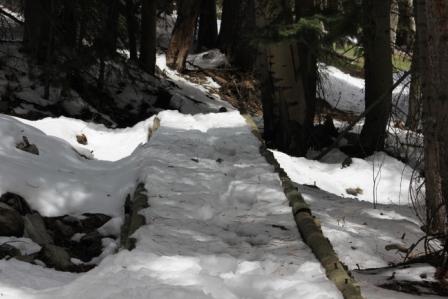
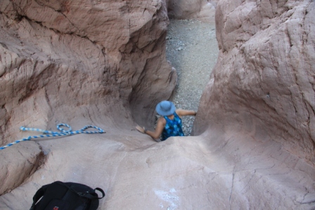
Only one car at the trail head; this promises to be a pretty quiet walk. Notes in the trail sign-in log warn of numerous hikes “turned back by snow”. Hmmm. We will see. Baker Creek gurgles and tumbles along side the trail. We climb evenly but not too steeply. Before long we loose the jackets and hike in shirt sleeves and shorts. Very nice. A few switchbacks and we find ourselves in a near silent mountain meadow. It is amazing how the pines block all sound of the creek. Birds sing. Turkeys gobble somewhere near by. With a bit of looking we spot them. Pretty odd looking fellows really. Wildflowers abound on the sunny slopes. We encounter our first snow. It isn’t deep, no biggy. We walk on through the scent of clear mountain air sometimes filled with the thick smell of pine. Snow-chilled breezes slide down the mountain and swirl past us. There is more snow now. Sometimes more than boot high but we are doing ok. We are back along the snow melt swollen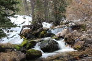 creek and it is bigger now since we have moved above where it forks on its journey downhill. Sunlight dances of the water as it tumbles over boulders and fallen trees. Snow drifts line the banks. It is beautiful.
More snow. Too much? Not yet. Keep going a bit more. Fortunately there have been hikers through here before us so we can follow their tracks else route finding would be very difficult. Feet are getting wetter. Let’s try to make it to the tree line so we can catch the wider view.
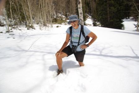
Nope. This is it. I sank so deep in snow that it filled the cuff of my shorts. Time to head back.
It is only noon so “just for fun” we take the fork to the right to try an alternative route back to the trailhead. Reports were that it is snow covered but it looks passable. 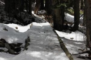 First a snow covered foot bridge. Ok. Some snow covered trail steps, a bit un-nerving. Oh, oh, no more tracks to follow and none of these trails have any markings visible with snow cover. We are turned back again. We retrace our steps to the trail junction and head on back the way we came. Turkeys are still around. It is warmer now and snow on the trail is mushy and muddy.
Our feet are wet and we weren’t able to take the paths we planned but it was a wonderful hike in a beautiful place. Another fine day of exploring.

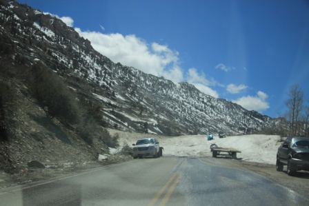 snowmobiles parked in a high icy drift stretching all the way across the pavement. End of the road for us. No Ruby Dome or mountaintop trails today.
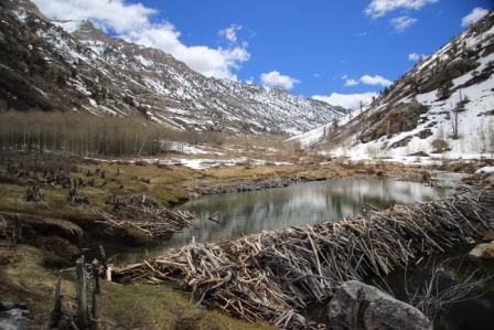 The aspen groves provide about perfect dam building materials and food. Stumps stand 4 or 5 feet tall where they were gnawed off at snow line when they were retrieved to supplement mid winter food stores. Ambitious engineers those furry fellows. There work greatly changed the flow of the mountain streams.