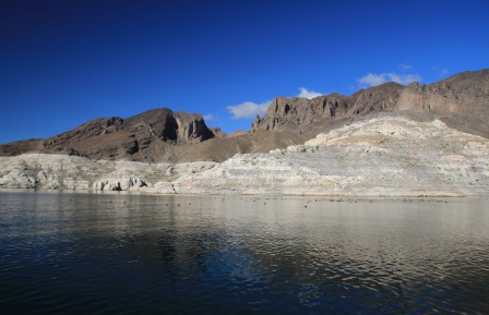
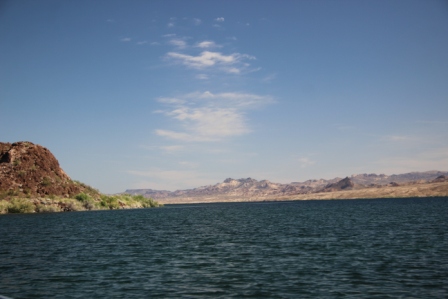
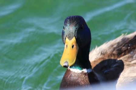
The clear cool water of the Colorado River flows below us as we launch into the Black Canyon National Water Trail. We are paddling upstream with a slight headwind but it is smooth going. Pairs of eared grebes float nearby softly squeaking to one another until we get a bit to close, they dive, only to re-emerge a bit later once again calling out to locate their mate. There are boat mallards of course, they check us out.
The paddle begins through rugged steep banks that develop into the namesake black canyon cliffs. A bald eagle perches majestically high on the cliffs then soars and circles out of sight. Red tailed hawks and a Peregrine Falcon take advantage of the cliff thermals.
The current is getting a bit stronger and the wind picking up. It is work to make headway now.
Weird loud caterwauling echoes down from the cliffs high above where a nest holds three, maybe four seemingly starving raven fledglings. They make a terrible racket every time the parents approach with food.
Out of the corner of my eye 
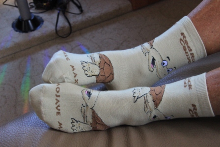
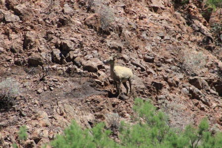
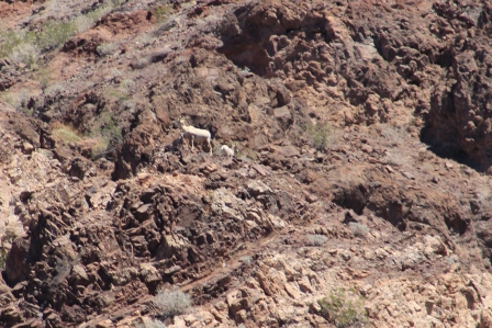
 I spot what looks like something falling down the steep mountainside toward the river. It is a band of big horn sheep; five ewes and two lambs coming to the river to drink. We find a rock point out of the current and wind and float silently on the far bank and watch. There is some amazing footwork by the adult sheep and some tentative exploration by the lambs. Fun.
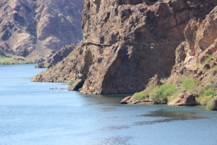
What is that precarious looking catwalk clinging to the cliff face? Is it a trail? 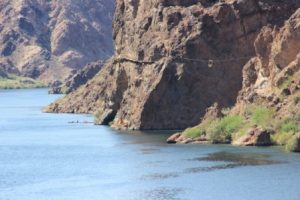 Not one I would try! It has a suspended cable trolley to cross a side canyon and another that hangs right over the Colorado then it just ends at the cliff. Hmmm. Turns out it connects an early river gager’s cabin to that last trolley where he hung over the river and measured depth etc. That gager was long ago replaced with an automatic gage but it reminds one of a more adventuresome time.
The current is increasing as is the headwind so at just less than 5 miles upstream we head back. Our arms are a bit tired and it will be late afternoon by the time we float back to the pull out. Hey wait, we have headwind going downriver now. No fair! We paddle on. It is still a beautiful trip even though we know our shoulders will be talking to us in the morning.
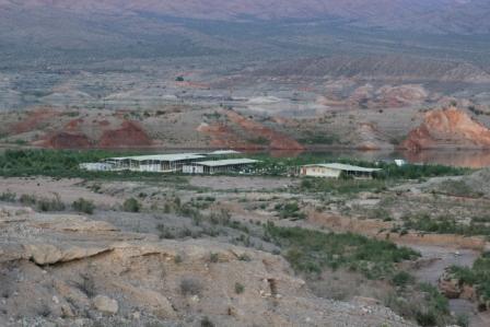
The first 30 miles below Hoover Dam have been designated as a semi-primitive area with lots of wilderness-like rules to attempt to preserve the natural setting. The most notable is the restriction to paddle craft only from Memorial Day to Labor Day. This time of year we had to share the river with powerboats. Most were pretty courteous but I am sure it is nice not to have the inevitable noise that they bring to the river. The sound carries forever as it bounces off canyon walls. We put in at Willow Beach about 15 miles below Hoover dam and paddled upstream then floated back.
A popular trip 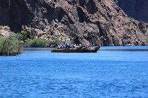 is to launch with an outfitter from just below the dam and “gloat” the river in huge outboard powered rafts. Several were tied off at the Willow Beach marina. They look like army surplus or something. I prefer our paddle version.

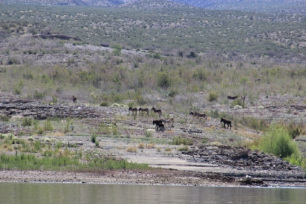 Bands of 10 or more seem to stake out a section to call home. The racket begins as they run off interlopers and occasionally erupts among members of the same band. Often we saw no apparent logic for the skirmish but the whole thing is great fun to watch.