Twenty plus years ago Boy Scout Troop 117 ascended Mt Shavano as part of their “high adventure” program. Lynn and I decided we could do that, so on Tuesday we packed our tent, sleeping bags, meals and water purification pump and headed toward the trailhead. To reach the trailhead is a 1 hour 7 mile trip on some roads defined a “jeep roads”. We were about a mile from our destination and met a fellow who stopped us and explained the road to the trailhead was blocked by cattle that would not move. He was very concerned since he was supposed to pick up his daughter who was hiking the Colorado Trail to this trailhead with little provisions and no shelter from another access point. I told him I was going to give the cattle a try and continued on until sure enough here sat an angus cow with her calf as the first of many laying in the road. A little persuasion with the Focus horn and hand clapping and cowgirl banter by Lynn and the first of many obstacles moved on. Shortly after we made it to the trailhead the fellow arrived there as well. He had followed us, but not close enough, as he had to get out of his truck and physically push one stubborn cow out of the road. So, we made it to the trailhead as did he and I don’t think we stressed those cattle at all.
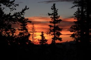
This time of year thunderstorms are the norm every afternoon so you need to get to the top and back below the treeline by early afternoon. The easiest way to assure that is to split the trip part way up. We hiked up Tuesday and arrived at a camping spot just below 11,000 feet, used by the scouts, safely below the tree line with a good water source. We had camp set up before the thunderstorms started. I was feeling pretty confident since we made the trek from the trailhead to camp in about 2 hours. That only left less than 3 miles to the summit for Wednesday. The alarm went off at 5 with the temp around 40 degrees. We had breakfast by flashlight and were on the trail before 6. The goal for the day, 14,229. Caught a beautiful sunrise  along the trail. This trail may not have seen any maintenance except fallen tree removal since I was here last. It is a jumble of loose 6 inch rock, so every step has to be carefully planned and executed. That’s my excuse and I am sticking with it. Never mind the twenty years that has passed and maybe a few pounds I could stand to lose. We were above the tree line and well on our way when it started to blow and rain (not in the forecast and thankfully not a thunderstorm). We almost turned back after we donned the raingear. If you can image 2 green Michelin men going up the side of the mountain it had to be quite a sight. The raingear is intentionally big enough to cover the daypack and camera. We continued and after a few minutes the rain stopped, although the cold wind continued for another hour or so. Before our appointed turn-back time we made the end of the trail, such as it is.
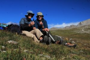
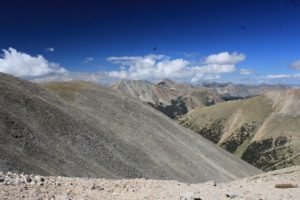
The only thing before us was the last few hundred feet of rock scramble to reach the summit. We decided to save rock scrambling for another time. We relaxed on the tundra and enjoyed our celebratory snack then headed down. We stopped in the trees and had lunch then descended, broke camp, and returned to the car parked about 4 miles and 4,000 feet below the summit. Just as we arrived at the car another rainstorm began. Even with the rain showers it was still a great hike though some beautiful country. Maybe just a little harder than I remembered. A big thanks to Lynn for coming along down memory lane!

